How To Check Your Home's Flood Zone With A FEMA Flood Map
Reviewed By Hamza 8 Min Read

Quick Answer
Check your home's flood zone on FEMA's official flood map service: enter your full street address, confirm the marker sits on your building, then read the label for that ground against the panel's legend. The result shows the mapped risk for the land — useful for cover and planning — but homes outside higher-risk mapped areas can and do flood.
Your home's flood zone is not a guess or a neighbourhood rumour: it is shown on an official FEMA flood map, and you can look it up by address. This guide walks through the lookup, how to read what comes back, and how much weight to give the answer.
What Is A Flood Zone On A FEMA Flood Map?
A flood zone is the label a FEMA flood map gives to the ground your home sits on, describing the mapped flood risk for that spot. FEMA draws these maps to show how flood risk varies from place to place, street by street and sometimes lot by lot, based on studies of water, ground and drainage.
The map is a planning and policy tool, not a weather forecast. It records how an area is classed on the effective map today; it cannot say whether your home will flood in the next storm. Read the result as one solid piece of evidence about risk, alongside your own knowledge of the property.
Where Do You Look Up An Address On The Official Map?
Use FEMA's official flood map service rather than a screenshot or a third-party map image. Enter the full street address of the home, let the service centre the map on it, and check that the marker sits on the building itself rather than on the street, a shared driveway or the lot next door.
Work from the result the service returns for that address. If the building is hard to place — a rural lot, a long driveway, a unit inside a larger building — zoom in until roads and outlines are clear. A result read off the wrong spot is worse than no result at all.
How Do You Read The Map Panel Around Your Home?
The service shows your address on a map panel, the sheet covering your neighbourhood, together with a legend. The legend is the key: it explains what each label and shaded area on that panel means. Read the label attached to the ground under your building first, then look at how the surrounding streets and low ground are classed.
Note whether any boundary line crosses your lot, and which side of it the house itself sits on. Boundaries do not follow fences or property lines, so the building and the far corner of the yard can carry different labels. Save the panel or a screenshot, with the date, for your records.
What Do The Map Labels Mean In Plain Words?
In plain words, the labels divide land into areas FEMA has mapped as facing higher flood risk and areas mapped as facing lower flood risk, with the panel's legend giving the exact meaning of each label used there. Rather than memorising label codes from elsewhere, read the legend printed with your panel, because it is written for that map.
Two cautions keep the labels in proportion. First, the classes are about mapped risk, not certainty: higher-risk ground can stay dry for years, and lower-risk ground can flood. Second, the map reflects the study behind it, not last month's storm. Treat the label as a starting point for decisions about cover, storage and cleanup planning.
Flood Water In Your Home Right Now?
One free call connects you with a local pro near you.
Why Can A Home Outside A Mapped Higher-Risk Area Still Flood?
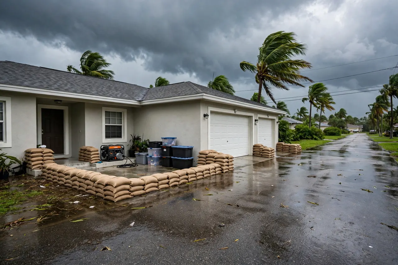
Because maps class risk; they do not control water. A Flash Flood can leave Standing Water on low ground far from any river or coast, Storm Surge can push past the mapped coastal edge, and Riverine Flooding can spill beyond the mapped river bank toward homes the map classes as lower risk. Groundwater seepage can also push water into ground floors after long wet spells.
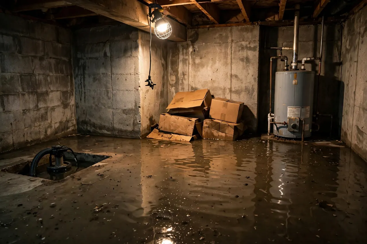
This is why flood planning is for every home, not only mapped higher-risk ones. Know where water would enter, keep valuables and documents off ground-floor floors, and know who you would call. If water does get in, it is treated as contaminated whatever the map said, and the cleanup steps are the same.
What If The Map And Your Own Flood History Disagree?
Believe both, because they describe different things. The map shows the official classed position for the land, used by communities and policy contacts. Your history shows what water has actually done at that address, including local drainage quirks and changes around the property that a study may not capture.
Where the two disagree, let experience carry real weight. A home that has flooded before should be planned around as a home that can flood again, even in a lower-risk mapped area. Equally, a higher-risk label on a home that has never flooded is still worth cover and preparation, not dismissal.
What Can Change A Home's Mapped Flood Zone Over Time?
Mapped labels can change when FEMA adopts a revised map for a community after a new study. A raised Levee, development, drainage works and changes to waterways can all feed into how an area is classed when it is studied again, which is why a result from years ago is worth re-checking rather than assuming it still stands.
Changes to the home itself matter for your own planning, too, even where the mapped label stays the same: a new extension at ground level, a converted garage or regraded yard can alter where water goes. Re-run the lookup when you buy, extend or take out new cover, and keep the dated result with your policy papers.
What Should You Do With The Answer Once You Have It?
Use the answer to make practical decisions. Talk to a policy contact about flood cover with the mapped result in hand, remembering that standard homeowners cover usually does not pay for outdoor flood damage and that a separate flood policy, usually through the National Flood Insurance Program (NFIP), is the usual route. Decide what stays on ground-floor floors, how water would reach the Foundation or a Crawl Space, and share the result with anyone who shares the home.
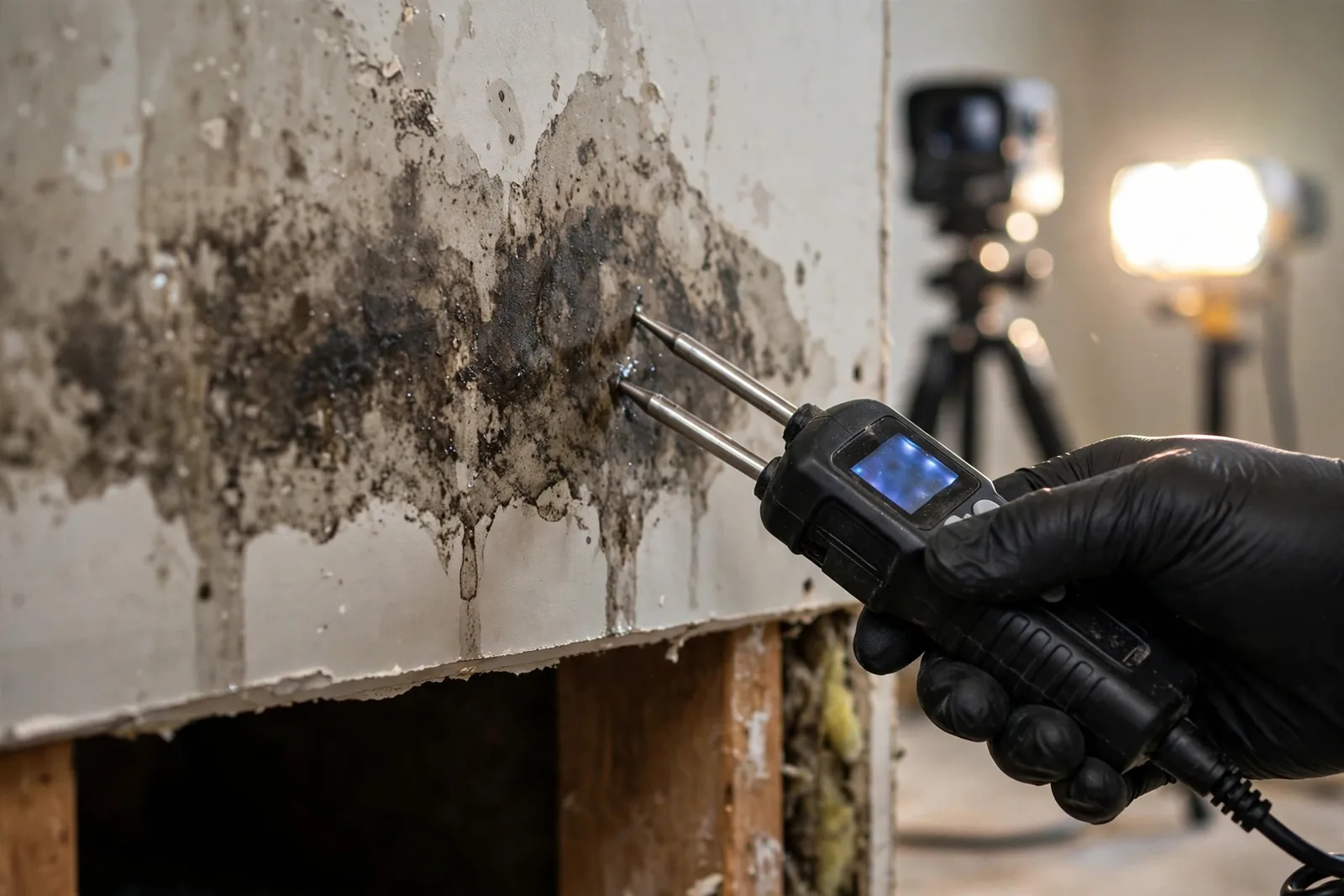
And if the map work follows an actual flood, planning comes second to cleanup. Wet materials deteriorate fast and Black Mold can begin within 24 to 48 hours. Call (800) 555-0100 — one free call connects you with a local pro who can arrive in 30–60 minutes in the cities served and dry the home while you work through the paperwork.